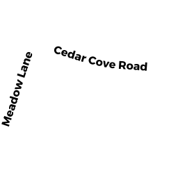
131 CEDAR COVE ROAD
Owner Information
WARISH CRAIG & ALESSANDRA
131 CEDAR COVE ROAD
SWANSEA, MA 02777


Property Details
131 CEDAR COVE ROAD is classified as a Single Family Residential (Conventional).
The primary structure on this property was built in 1974. There are 6311ft2 of built area within this property. There is 2982ft2 of residential/living space within this property. This property is listed as having 9 rooms.
131 CEDAR COVE ROAD is valued at 516600. The land is valued at 129400 and the structures are valued at 369900. There is an additional valuation of 17300 on this property.
This property is in Zone R1. Confirm with local Zoning Board authorities to ensure there are no overlays or other easements on this property.
The most recent deed for 131 CEDAR COVE ROAD is recorded at the local registrar in Book 9618, Page 0219. 131 CEDAR COVE ROAD was last sold on 2018-10-05 for 380000.
Assessment data from fiscal year 2021.
Flood Data
According to the FEMA National Flood Hazard Layer, this property does not appear to be in a flood zone. It may also be in an area not yet reviewed. Nonetheless, confirm this information prior to taking any action.
To view the flood hazards around this property, create a FEMA "Firmette" Map of the area around 131 CEDAR COVE ROAD.
Broadband Internet Providers
| Provider | Type | Bandwidth (mbps) | |
|---|---|---|---|
| Viasat Inc | Satellite | 100 | 3 |
| VSAT Systems, LLC. | Satellite | 2 | 1 |
| Verizon New England Inc. | DSL | 5 | 0 |
| Comcast | Cable | 1000 | 35 |
| GCI Communication Corp. | Satellite | 0 | 0 |
| HughesNet | Satellite | 25 | 3 |
Broadband service provider data from December 2020.
Adjacent Properties
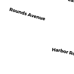
- 144 HARBOR ROAD
Single Family Residential owned by MURPHY DOMINIC J & M J BOUCHARD-MURPHY - 130 HARBOR ROAD
Single Family Residential owned by CURTIS MARTHA H TRUSTEE OF THE - 26 CEDAR COVE LANE
Single Family Residential owned by RAPOZA-BOLAND JENNIFER L - 48 CEDAR COVE LANE
Single Family Residential owned by MEDEIROS FRANK A - 119 CEDAR COVE ROAD
Single Family Residential owned by PAWELCZYK JOHN W & NICOLE M